| ERT Updates (2/12/26) |
General changes to website
|
Updates to tool functionality
|
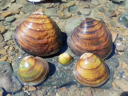
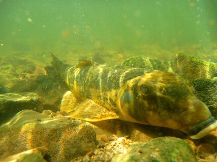
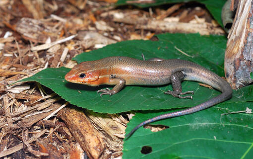
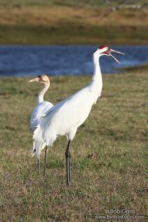
Kansas Department of Wildlife and Parks (KDWP) thanks you for accessing the Kansas Ecological Review Tool (ERT). This tool allows for interactive conservation planning as well as expediting the regulatory Ecological Review process by streamlining data/information submission and automating our review of pertinent ecological and species occurrence information. Through the webmap, users can explore a wealth of geographic information related to species occurrences, wildlife habitats, conservation/protected lands, natural, and anthropogenic resources within the State. The ERT also allows users to input required information regarding development projects to start the regulatory Ecological Review process. For development projects which are unlikely to impact Kansas-listed wildlife, Designated Critical Habitat, and/or public lands managed by the Kansas Department of Wildlife and Parks, users will promptly receive an automated project clearance letter with recommended Best Management Practices.
Users can explore data and resources within an area of interest without registering or logging in by clicking the ‘Explore’ tab above. Data exploration is also possible after logging in without a required project submission. Future iterations of this tool will also allow users to submit locations and receive a Conservation Planning Report or a regulatory Ecological Review.
Currently, to submit projects for regulatory review, new users can register by clicking the “Create new account” link to the right. Once registered, login to the tool and start a project submission by clicking the ‘Create Project’ tab that will appear after logging in. The review process will evaluate the proposed project location(s) based on development activity type(s), known occurrences of wildlife listed as “Endangered”, “Threatened”, and “Species in Need of Conservation”, areas designated as critical habitat for listed wildlife species, and lands managed by KDWP for public use. An Ecological Review report based on your submission will be generated and visible to you in the ‘My Projects’ tab, and you will be notified via email when this is ready. Please click the ‘Help’ link above for guidance on how to use the Kansas Ecological Review Tool—including project submission, user group management, and more. If the ‘Help’ section does not answer your questions, please contact us at KDWP.ESS@ks.gov or 620-672-5911.